Aerial Surveying
In recent years, helicopters have increasingly been used to conduct aerial surveys due to their flexibility, range and maneuverability, allowing the surveyor to capture large quantities of high-resolution geometric/photographic data, which is only possible from the air.
Aerial Survey the best method of collecting geomatics and imagery data by combining sensors such as LiDAR, Radar and digital cameras with GPS units installed on the aircraft, which provide accurate position and orientation information. When combined with the latest presentation tools, such as 3D photogrammetry, thermography and 3D LiDAR mapping, the results can be spectacular presentations perfectly suited to the purpose of the survey.
Government departments, public organizations and private companies conduct aerial surveys for city mapping and land use analysis, geotechnical and topographical mapping, vegetation/crop/forest analysis, construction planning and progress recording.
Let us know your requirements when booking and we will conduct any necessary checks and formalities to ensure your flight is seamless.
Our Job
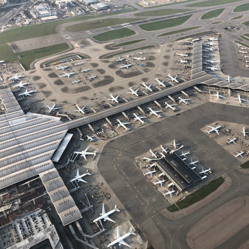
- Hong Kong International Airport survey
- Powerline Network Survey
- 3D Mapping


